Copyright © 2025 Protect Wisconsin Waterways
Did you know that the Beaver Dam Watershed includes over 101,000 acres and is a tributary of the Rock River?
While Beaver Dam Lake (40,314 acres) and the Beaver Dam River (1,742 acres) may immediately come to mind, there are several other streams, ponds, wetlands, stormwater outfalls, and other storm systems that connect the City of Beaver Dam and surrounding areas to the Rock River Basin. Stormwater runoff ends up in storm drains and other outfalls that lead to Beaver Dam Lake or Beaver Dam River, which eventually flows into the Crawfish River and is a tributary of the Rock River.

Visit the City of Beaver Dam’s website for more details on stormwater in Beaver Dam or view monitoring data from the USGS on the Beaver Dam River.
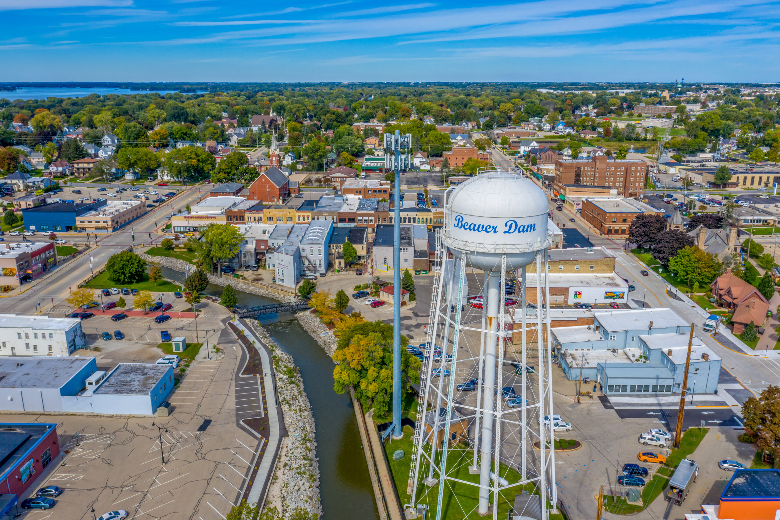
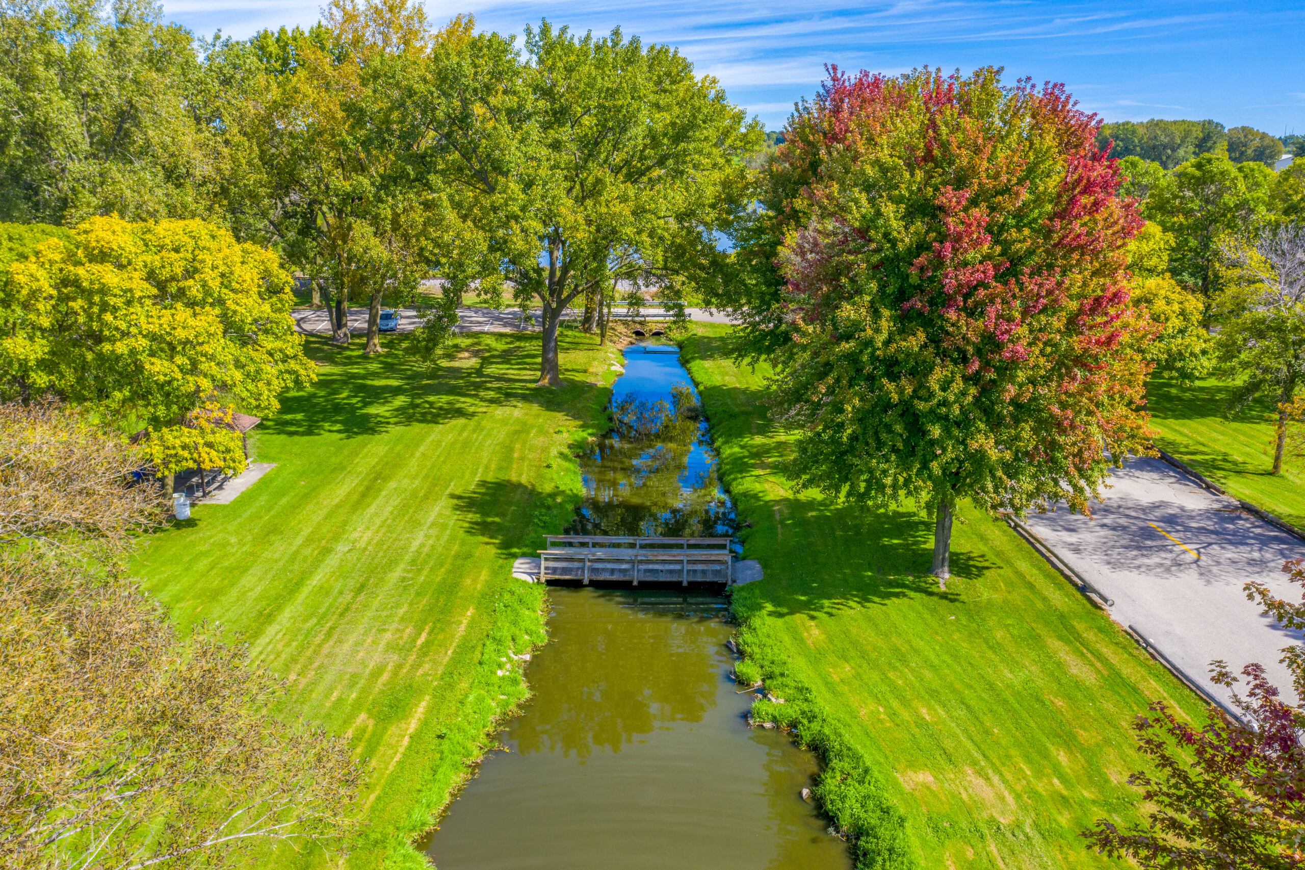

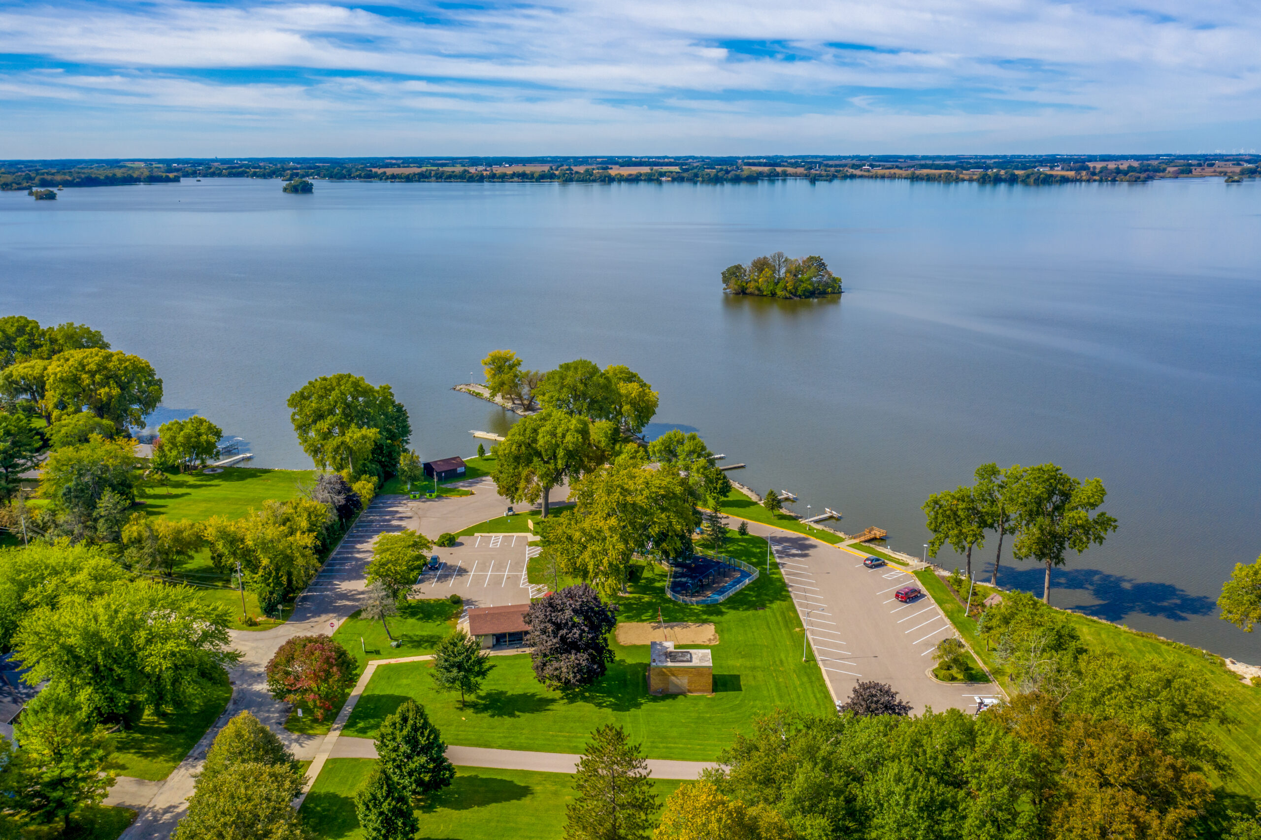
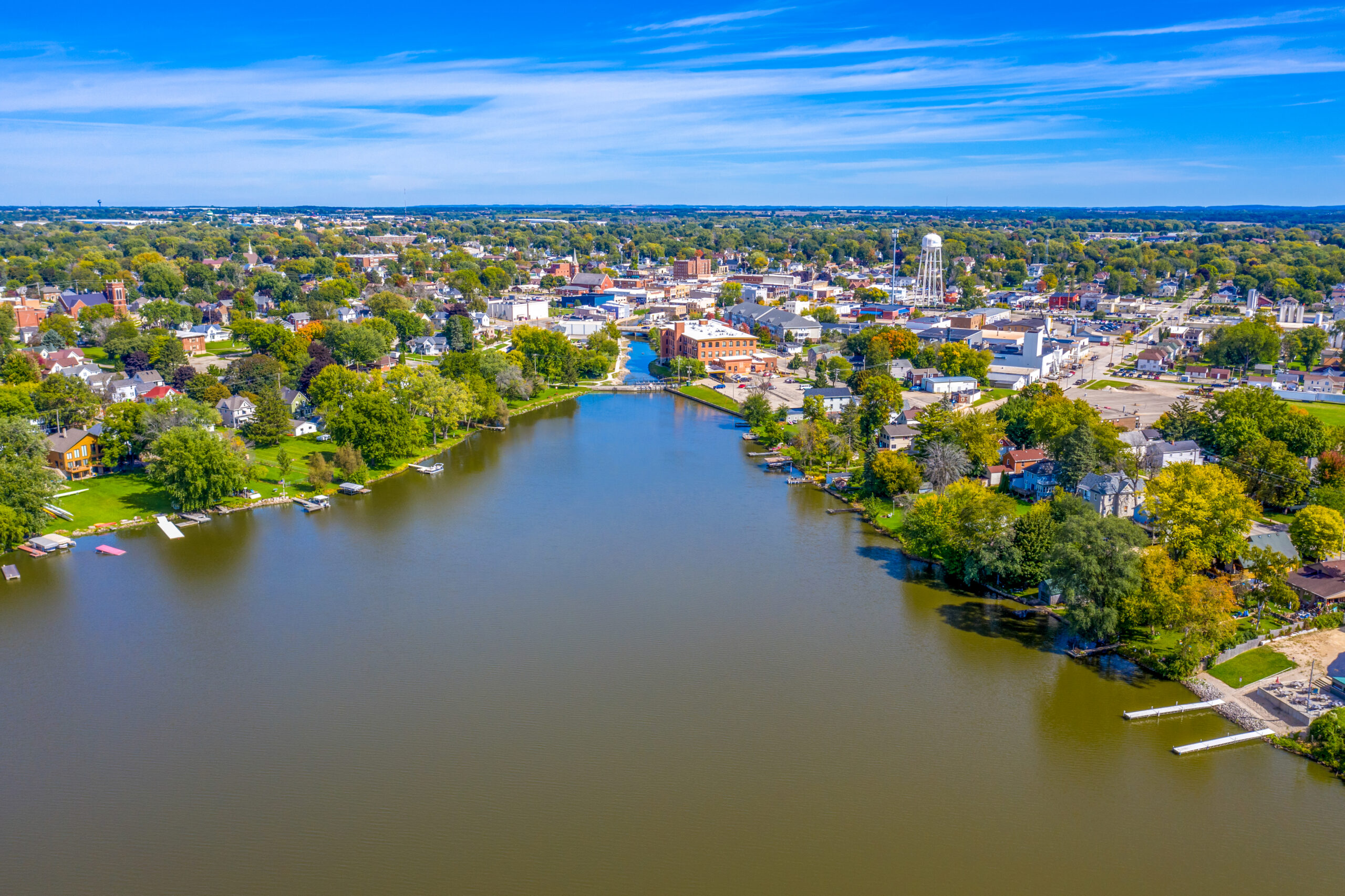
Along with local partners like the Beaver Dam Lake Improvement Association (BDLIA) and Dodge County Alliance for Healthy Soil Healthy Water, the City of Beaver Dam continues to work on reducing stormwater pollutants that end up in local waterways. Area residents like you can make a difference around your home, too!


Copyright © 2025 Protect Wisconsin Waterways