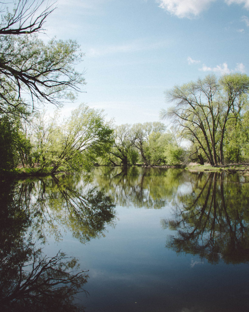
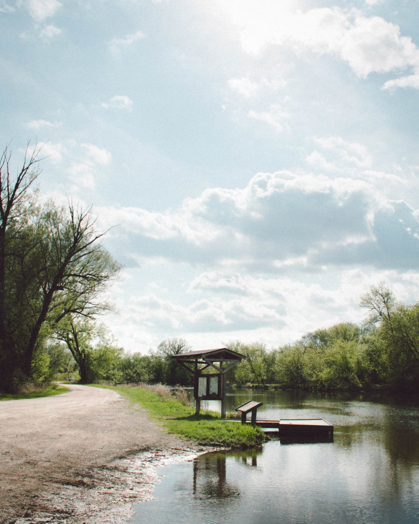
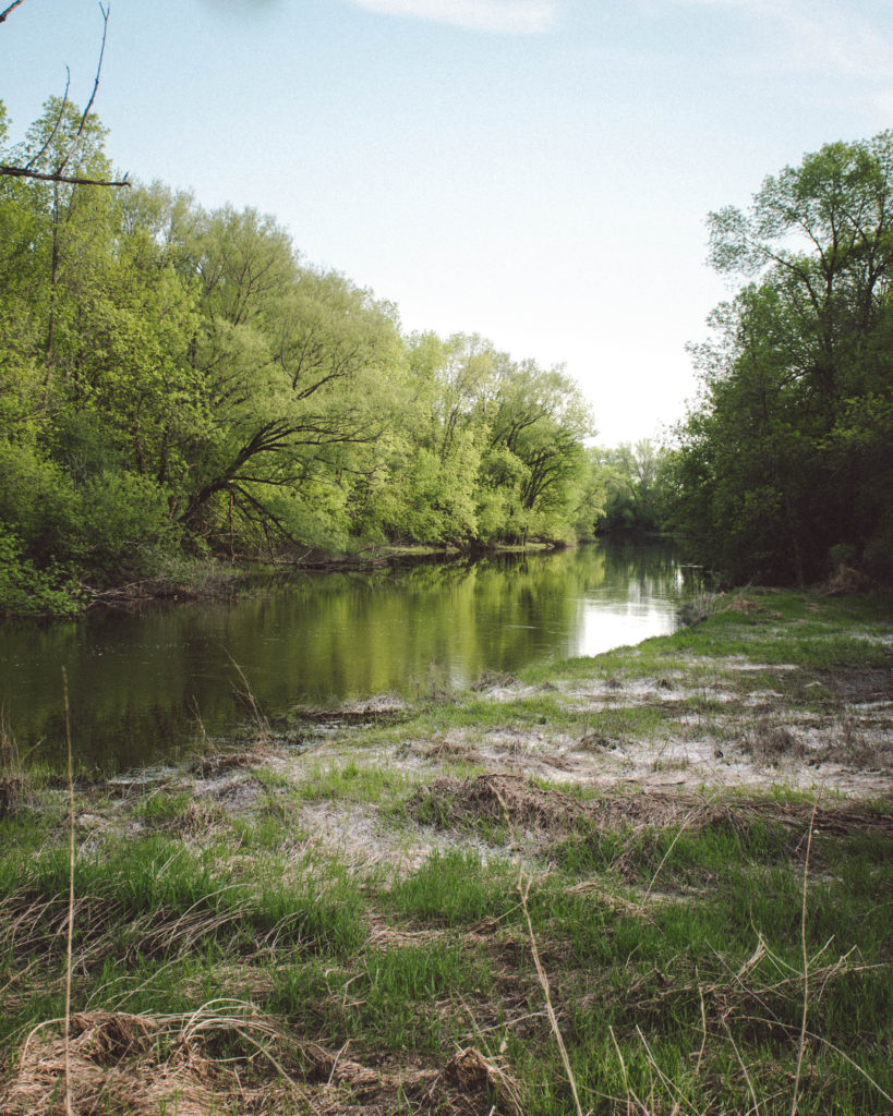
About The Upper Rock River Basin
The Upper Rock River basin, covering 1,890 square miles, lies in south central Wisconsin’s eastern ridges and lowlands geographical province (Martin, 1932). At the north end of the basin, the East, South and West branches of the Rock River come together in Horicon Marsh. From the city of Horicon, on the south edge of the marsh, the river flows south 76 miles to Fort Atkinson. The remainder of the Rock River mainstem, 62 miles, is in the Lower Rock River basin, which extends from Fort Atkinson to the Wisconsin-Illinois border. The gradient of the Upper Rock River is very flat. The fall of the river from the upper Federal dam in the Horicon National Wildlife Refuge to the upper Watertown dam is just 34 feet over 58 miles.
The basin is bounded on the east by the Niagara escarpment and the eastern terminal moraine, formed by the Green Bay lobe during the last glaciated period in Wisconsin. The most dominant geologic features are the extensive drumlin fields in Dodge County and portions of Dane, Columbia and Jefferson counties. Principal soil types in this region are Dodge, Miami, Morley, Casco, Plano, Warsaw and Varna soil associations in upland areas. Soil associations in wetland areas are Pella, Poygan and Brookston (Hole, 1976). These soils are fertile and productive.