The Rock River Stormwater Group is responsible for stormwater education and outreach in the Lower and Upper Rock Basins. The Rock River Stormwater Group is the organization behind the Protect Wisconsin Waterways brand. Learn more about the municipalities that make up the Rock River Stormwater Group.
Lower Rock
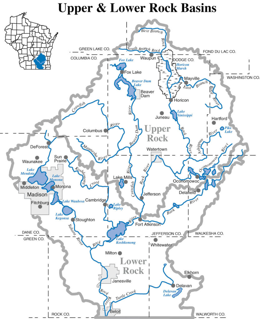
The Lower Rock basin is located in south-central Wisconsin. It encompasses waterways in Columbia, Dane, Jefferson, Rock, Walworth, and Waukesha counties. The Lower Rock basin watershed area includes a variety of popular Wisconsin Waterways.
Did You Know? Some of the many waterways include: Badfish Creek, Bark River, Bass Creek, Blackhawk Creek, Lower Koshkonong Creek, Marsh Creek, Rock River, Suppernong River, Six Mile and Pheasant branch Creeks, Turtle Creek, Upper Koshkonong Creek, Whitewater Creek, Yahara River, Lake Kegonsa, Lake Mendota, Lake Monona, and many more as shown in the map above. This basin faces water quality impacts and increased runoff quantity, loss of agricultural lands, loss of habitats, lower urban groundwater levels, and significant groundwater contamination.
Upper Rock
The Upper Rock basin is located in east-central Wisconsin. It includes waterways across Columbia, Dodge, Fond du Lac, Green Lake, Jefferson, Washington, Waukesha Counties. The Upper Rock River Basin covers a total of 2,092 square miles.
Did you know? Some of the many waterways in the Upper Rock River include: Ashippun River, Beaver Dam Lake, Beaver Dam River, Calamus Creek, East branch of the Rock River, Johnson Creek, Lower Crawfish River, Maunesha River, Middle Rock River, Oconomowoc River, Pike Lake, Rubicon River, Sinissippi Lake, Upper Crawfish River, Upper Rock River, Whitewater Lake, Cravath Lake, and Tripp Lake among others shown in the map above.

Learn More About Some Other Rock River Basin Waterways
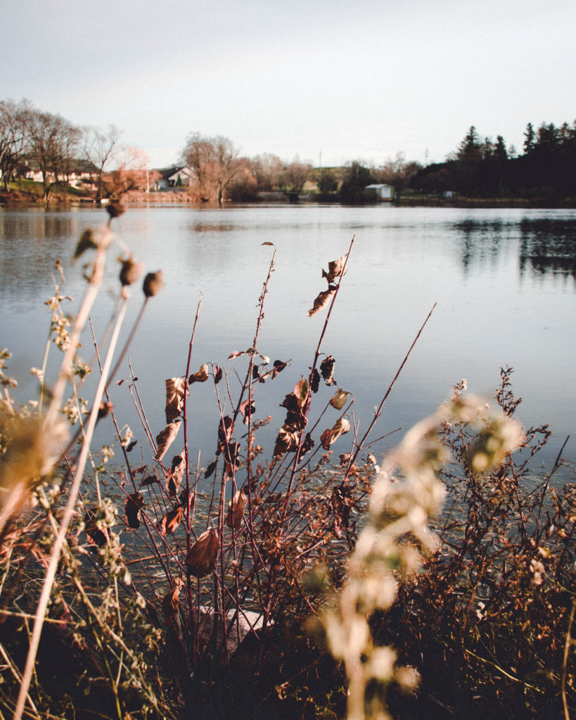
Photography by Danny Balister