Upper Chippewa
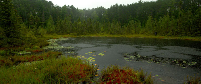
The Upper Chippewa basin is located in west-central and north-western Wisconsin. It includes the following counties: Price, Sawyer, and Rusk. It also includes smaller portions of Vilas, Ashland, Iron, Taylor, and Chippewa counties. There are over 3,000 miles of stream and rivers, 156,200 acres of freshwater lakes, 22,711 acres of flowages, and more than 150 acres of freshwater springs in this basin. This basin includes the Weirgor Creek and Brunet River watershed, the Upper South Fork Jump River watershed, the Upper Chippewa watershed and the Flambeau River watershed. The Upper Chippewa primary threat is habitat loss.
For more information about the Upper Chippewa River Basin, go to the DNR website at http://dnr.wi.gov/water/basin/upchip/.
Lower Chippewa
The Lower Chippewa basin is located in northwestern Wisconsin and includes Barron, Chippewa, Dunn, Eau Claire, Pepin, and Taylor counties. The Lower Chippewa Basin contains more rare species than other basins and 25% of the state total of native prairies. Some of the watersheds within this basin are the Yellow River, Lower Chippewa, the South Fork and North Fork of the Eau Claire River, and McCann Creek and Fisher River.
For more information about the Lower Chippewa River Basin, go to the DNR website at http://dnr.wi.gov/water/basin/lowerchip/.
Visit these sites to learn more about how you can get involved and protect the Upper and Lower Chippewa Basins with these partner organizations:
Northcentral Wisconsin Stormwater Coalition